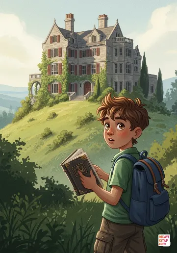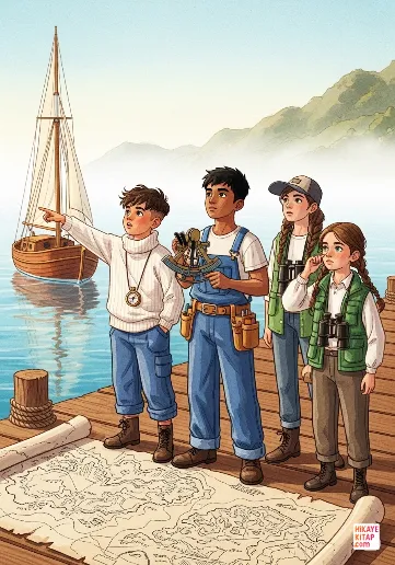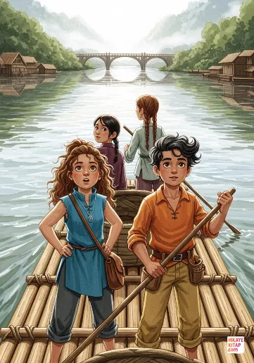
The Far Bank of the Silver River
Emily and her friends cross the Silver River to explore the mysterious far bank and help the villages they discover t...
Read more 12 pages
Type into the box above to start searching
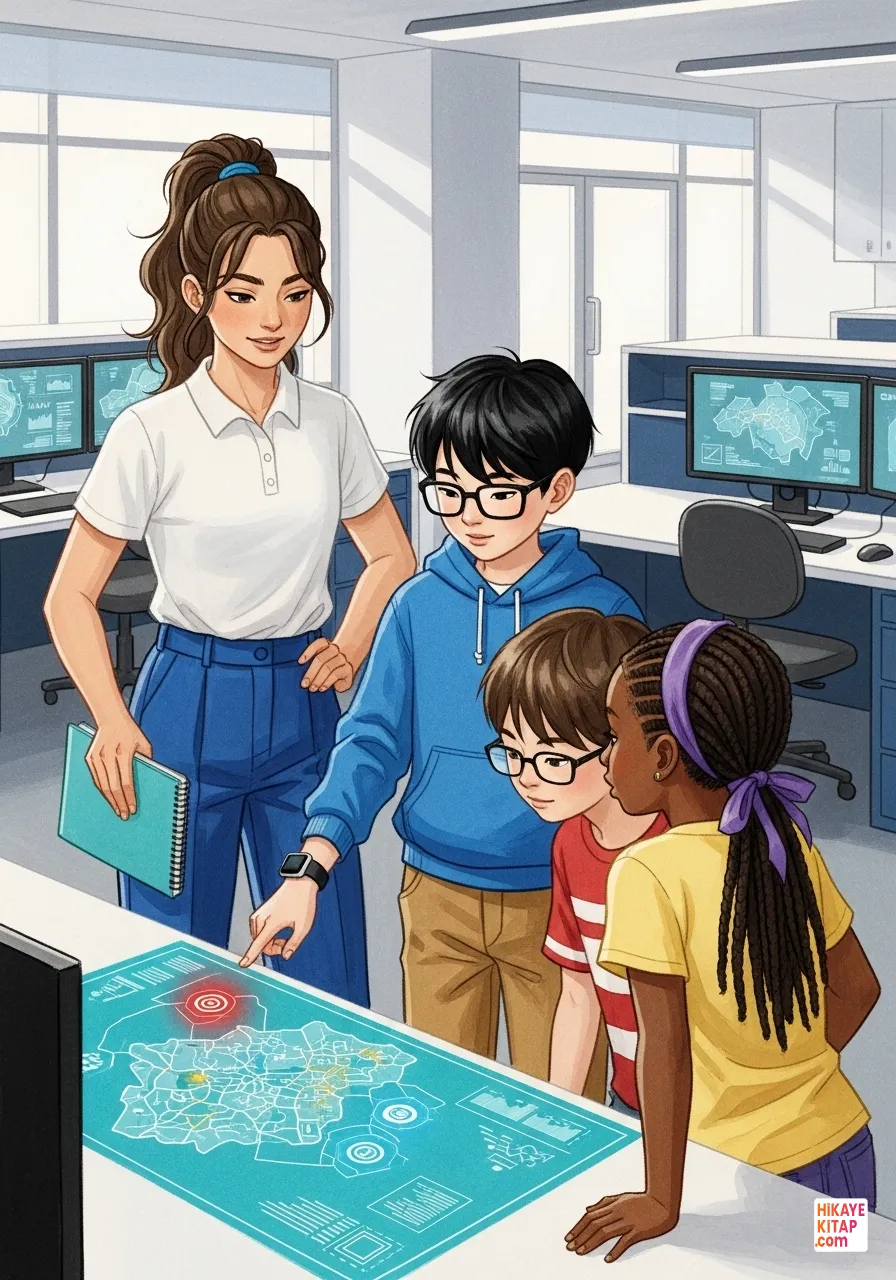
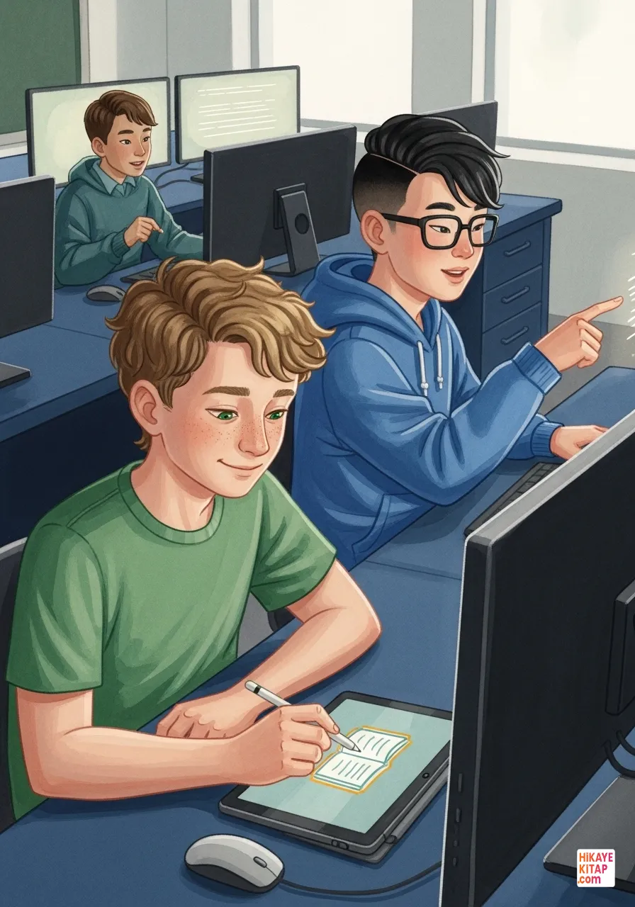
An exciting announcement was made in the school's technology lab. Students were going to transform their neighborhood into a digital map. Tara jotted down headings in her notebook, while Eric smiled at the complex codes on his screen.
A team was formed. Ivy joined with her magnifying glass and notebook; she was the detail expert. Nolan looked at them, spinning his digital pen. He was the master of colors and symbols. The Digital Map Explorers were ready.
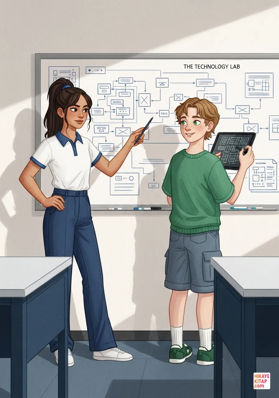
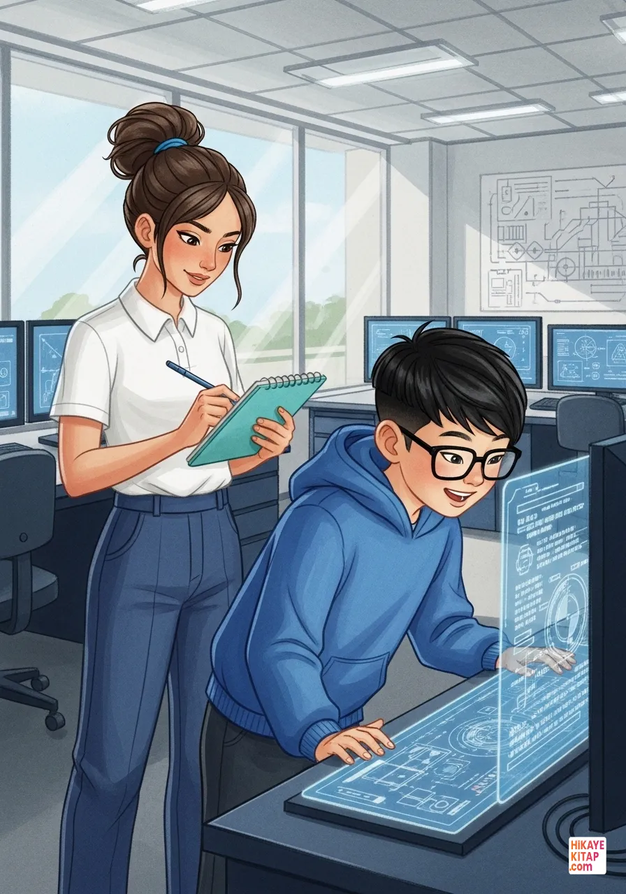
Planning was critical. Tara distributed the tasks. Main roads first, she said. Nolan began to create a virtual grid on the screen to build the map's structure.
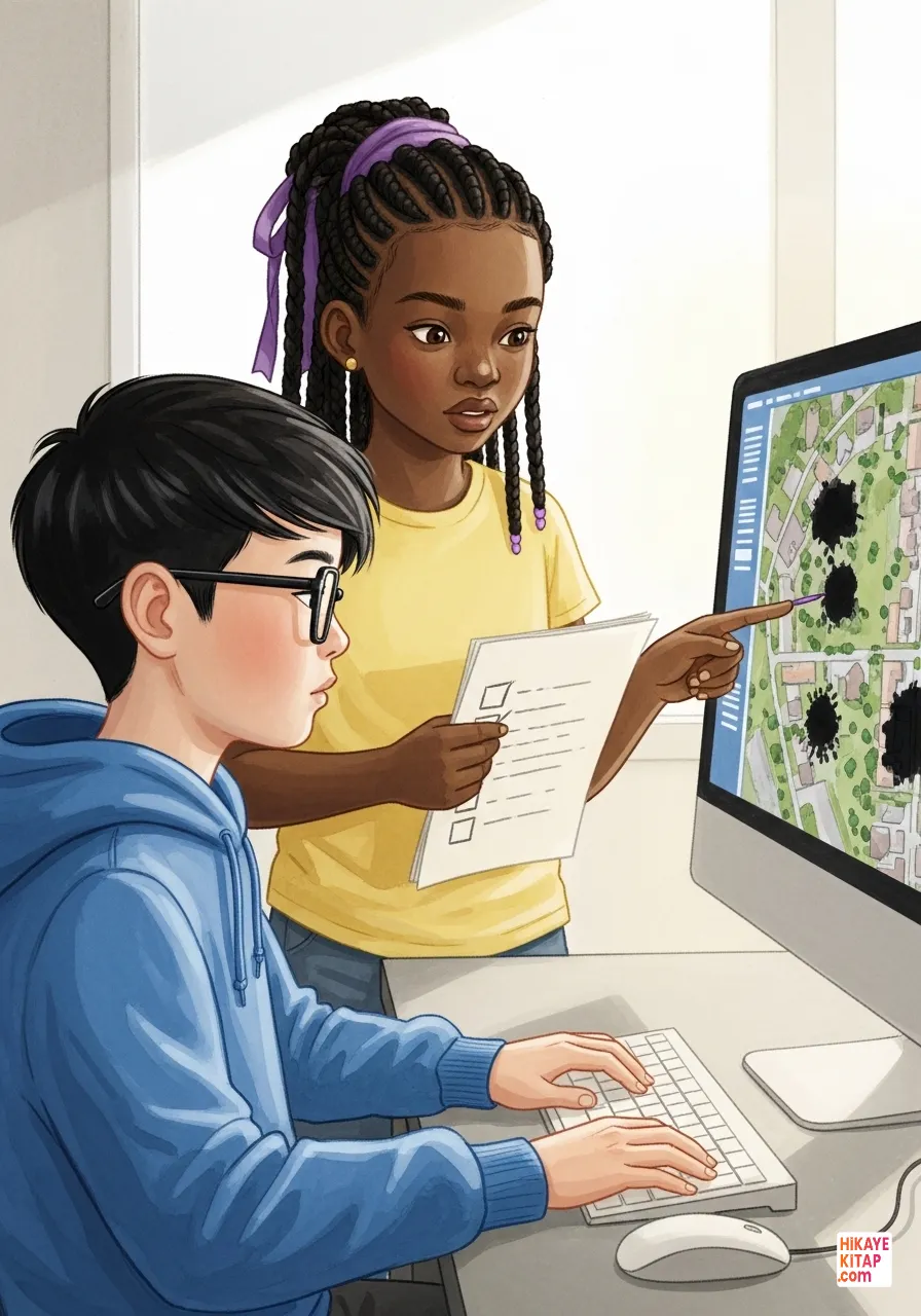
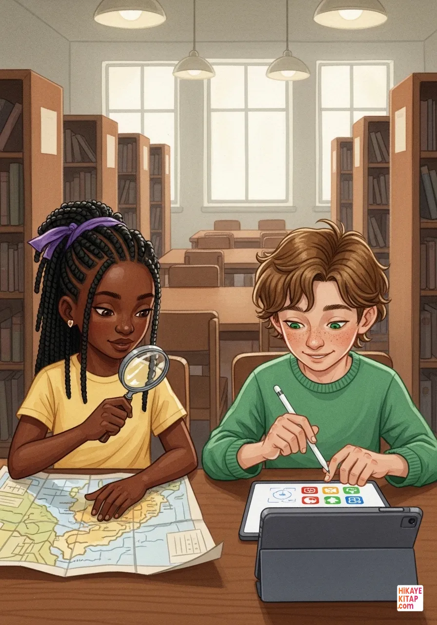
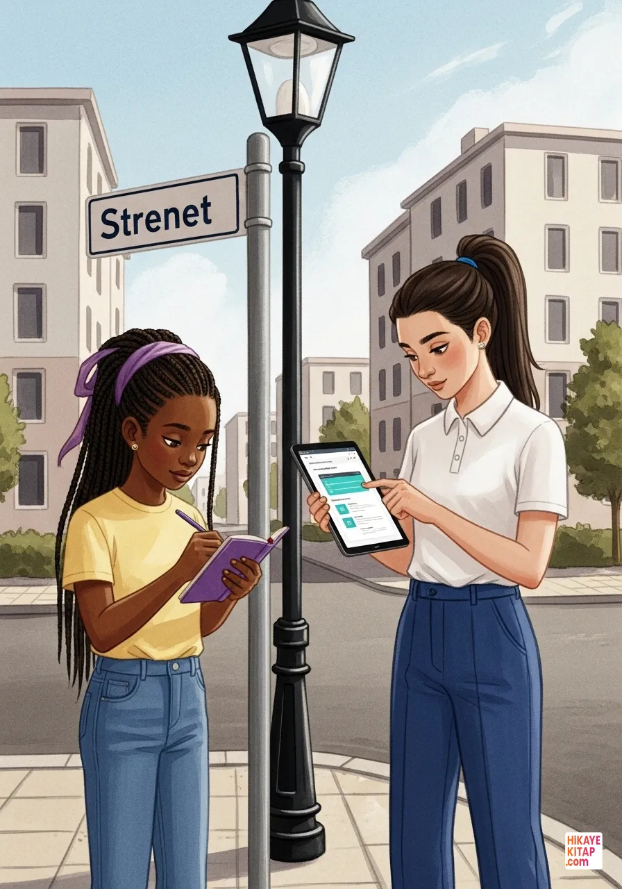
Eric uploaded satellite images, but they were blurry. Ivy checked her list. We must go out and see the streets ourselves to fill these gaps, she said. The real and digital worlds were merging.
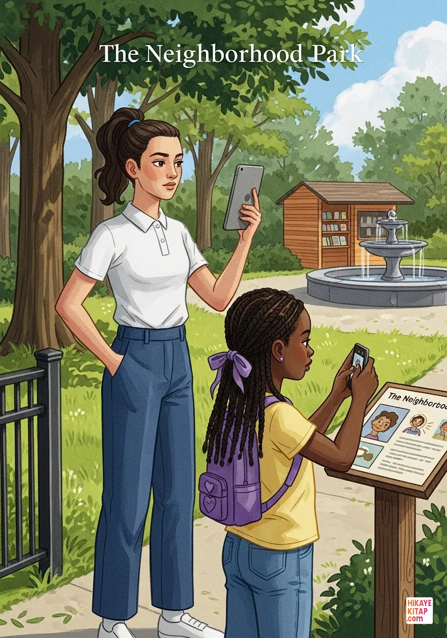
The team went outside. Tara and Ivy found a park that was just a green spot on the satellite map. In reality, it had a library and an old fountain. They recorded every detail.
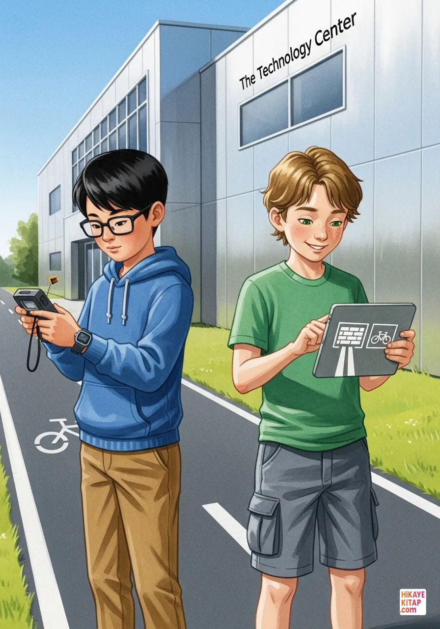
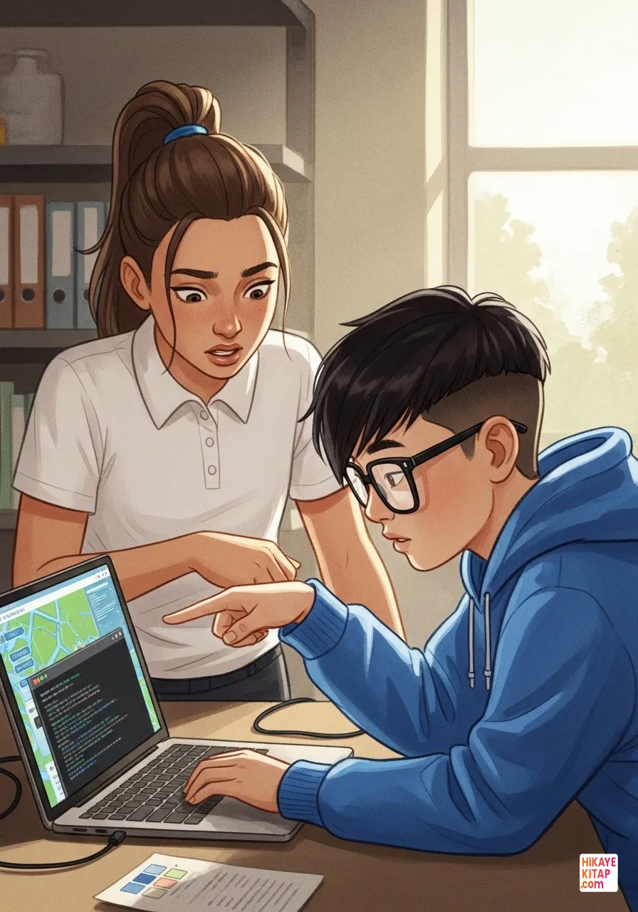
Eric and Nolan found a wide bicycle path where the digital map showed a wall. Eric corrected the GPS signal and coordinates, while Nolan planned how to draw the path.
Errors were corrected one by one. Ivy found a misspelled street name. Tara connected to the municipality’s data portal to confirm the accuracy. Accuracy was the heart of the map.
Nolan transformed the map into art. He added a bread icon for the bakery and a book icon for the library. The map now showed the soul of the neighborhood.
The map was loading slowly. We must optimize the data, Tara told Eric. Eric cleaned up unnecessary files to make the app run smoothly.
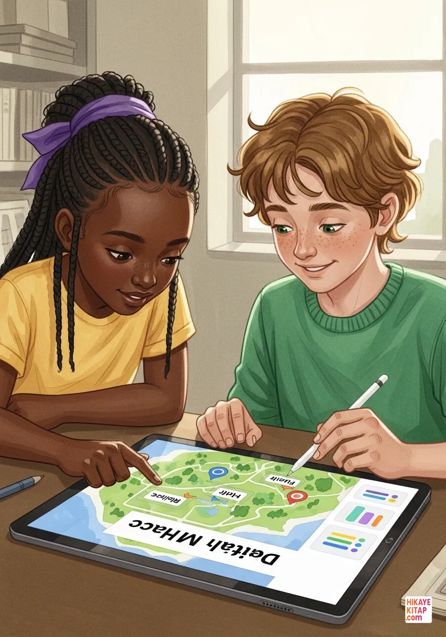
Ivy and Nolan made the final touches. Ivy scanned the labels for accuracy, while Nolan added a user-friendly menu. Design and data were in perfect harmony.
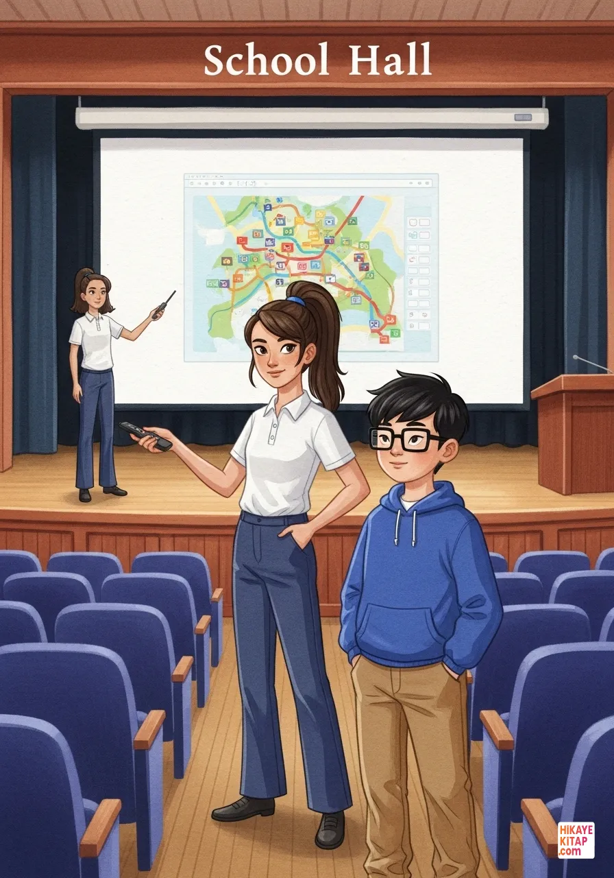
On presentation day, the hall was full. Tara and Eric projected their digital map onto the giant screen. The audience was amazed by the vivid details.
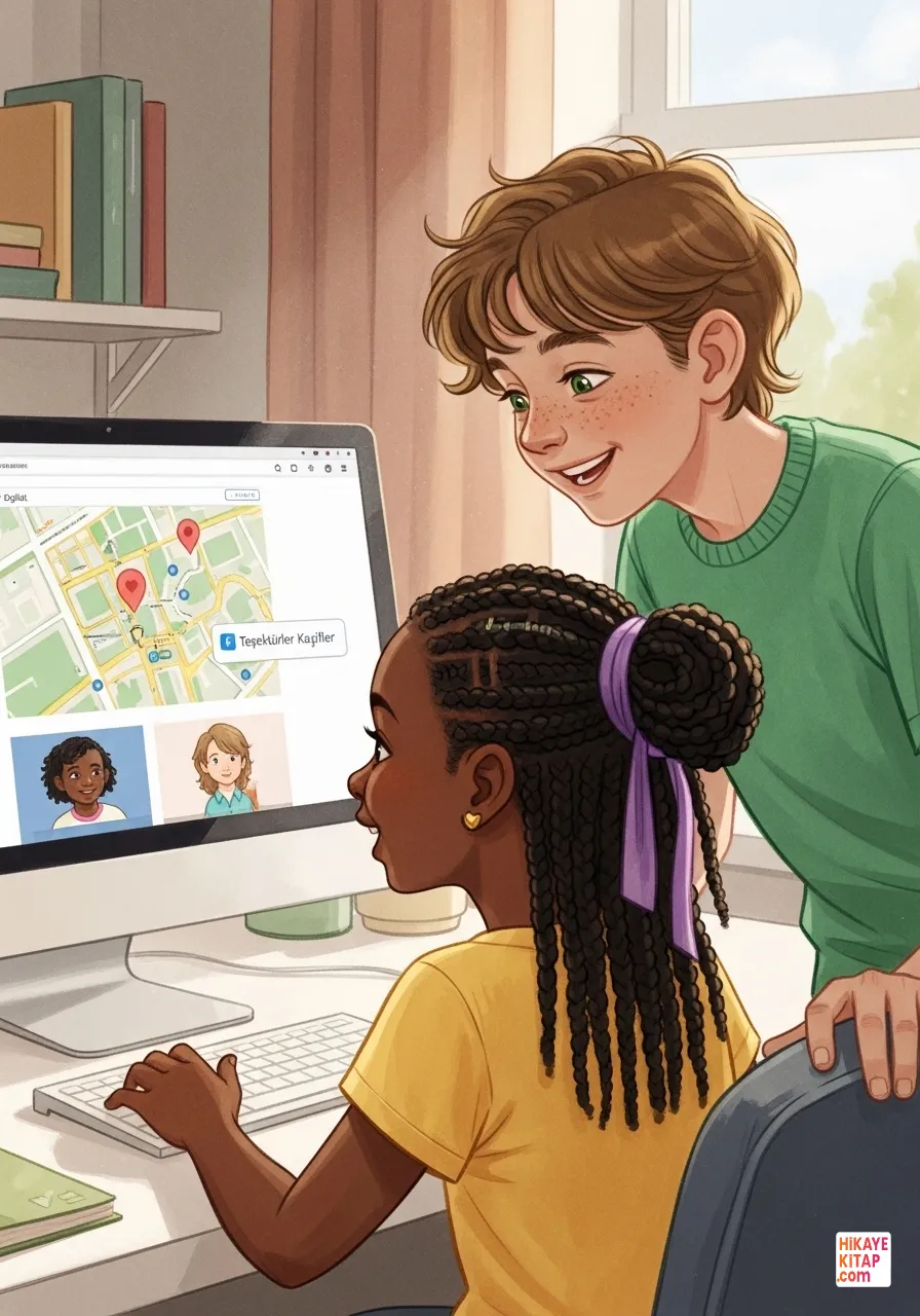
The project was a success and uploaded to the school website. The Explorers learned that sharing accurate information makes technology a truly useful tool.
Use the link and iframe code below to embed the book on your site.